Plan before launch
Cover airspace checks, weather, battery safety, takeoff/landing site selection, bystander protection, equipment inspection, and flight logging.
The planned program emphasizes lawful, safe drone handling and applications such as site documentation, agricultural observations, mapping, and emergency-planning exercises.
BLACK BOX FIELDS / MISSISSIPPI / IN DEVELOPMENT
Cover airspace checks, weather, battery safety, takeoff/landing site selection, bystander protection, equipment inspection, and flight logging.
Examples may include surveying field boundaries, infrastructure documentation, crop observations, and comparative imagery where permissions and rules allow.
Commercial drone operations may require FAA Part 107 certification and airspace authorization. The academy will not claim regulatory approval or offer unverified counter-drone capabilities.
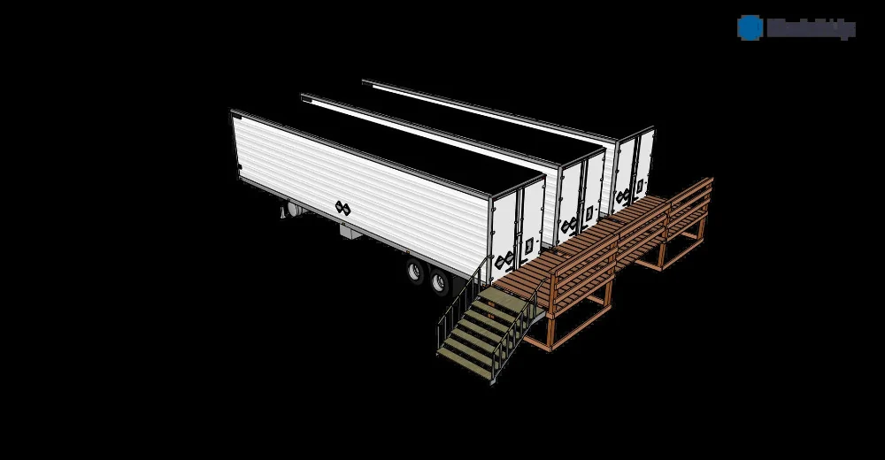
Facilities and offerings described here are planned, not represented as operating, approved, accredited, available to book, or producing stated results. Equipment images depict earlier CleanTec systems or supplier concepts. We credit the inventor and manufacturer separately.
The proposed site combines controlled-environment agriculture with space for field operations, science education, supervised demonstrat…
EXPLORE →This project journal begins with the planned culinary-mushroom and produce/plant trailers, then follows each confirmed step toward oper…
EXPLORE →All website inquiry forms are addressed to [email protected]. Choose a department or topic and include enough detail for a meanin…