Map. Compass. Position.
Learn map scale, orientation, landmarks, position reporting, route planning, and practical use of a compass and GPS device.
From map symbols to field notes, the navigation program makes location awareness, route planning, and simple geospatial tools understandable.
BLACK BOX FIELDS / MISSISSIPPI / IN DEVELOPMENT
Learn map scale, orientation, landmarks, position reporting, route planning, and practical use of a compass and GPS device.
Practice check-ins, weather awareness, turnaround times, team accountability, and equipment preparation.
Students can build maps and annotated field logs that explain where they traveled, what they measured, and what changed.
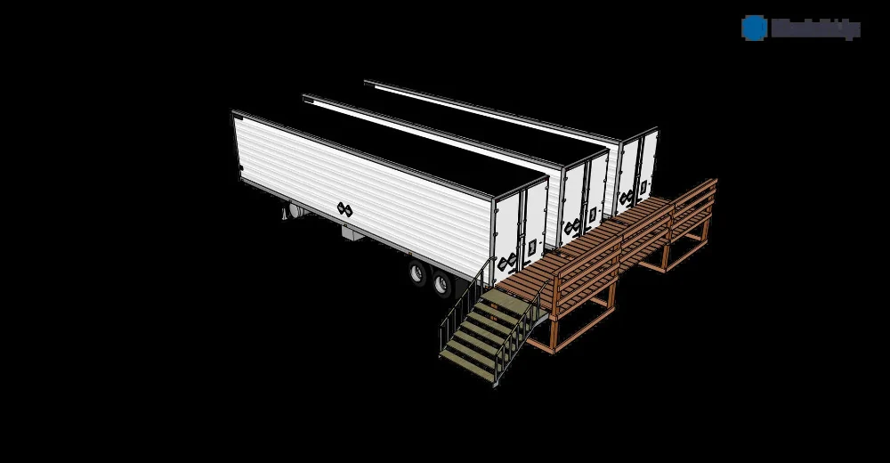
Facilities and offerings described here are planned, not represented as operating, approved, accredited, available to book, or producing stated results. Equipment images depict earlier CleanTec systems or supplier concepts. We credit the inventor and manufacturer separately.
The proposed site combines controlled-environment agriculture with space for field operations, science education, supervised demonstrat…
EXPLORE →This project journal begins with the planned culinary-mushroom and produce/plant trailers, then follows each confirmed step toward oper…
EXPLORE →All website inquiry forms are addressed to [email protected]. Choose a department or topic and include enough detail for a meanin…